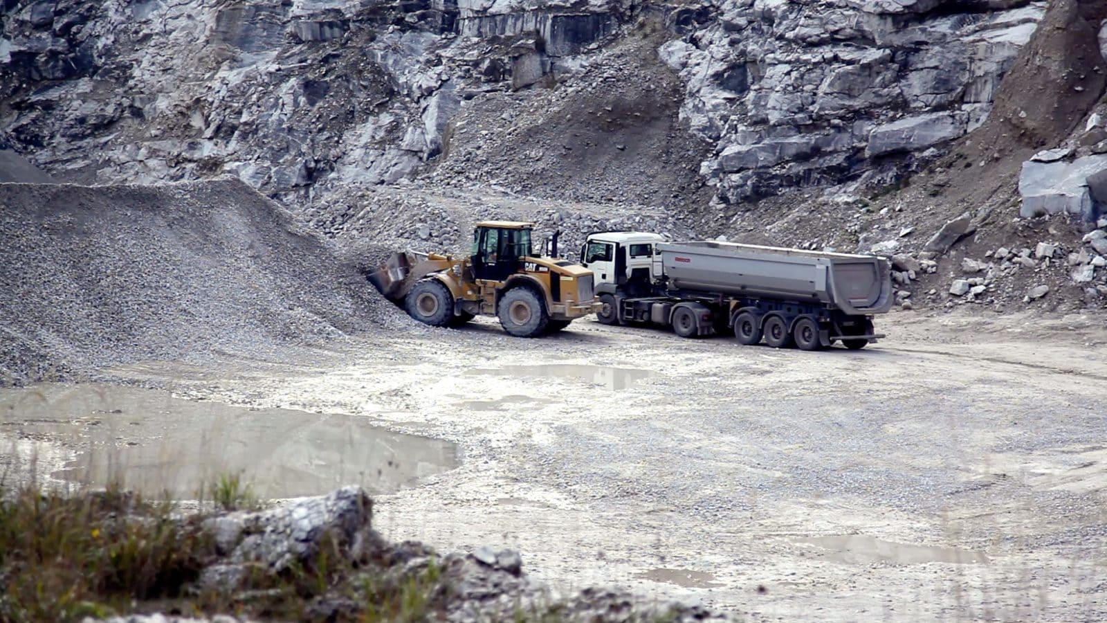
The Kohnstein in Thuringia with its 335 meters has a turbulent history. The sulphate rock anhydrite has been minded there since 1917. Anhydrite is used, for example, in cement or screed.
Already in the 1930s anhydrite mining was no longer viable. Mining work continued underground. This was the starting signal for the widely branched underground mining gallery.
With some interruptions, anhydrite is still extracted from the Kohnstein.
Mittelwerk in the Kohnstein – The historical significance of the Second World War
The British Royal Air Force bombed the Peenemünde Military Research Centre on Usedom under the operational name “Hydra” on the night of 17.-18. August 1943.
As a result, important parts of the development and research institute were relocated to the underground tunnels of Kohnstein. The weapons V1 (flying bomb Fi 103) and V2 (ballistic missile A4) were manufactured in Kohnstein from now on.
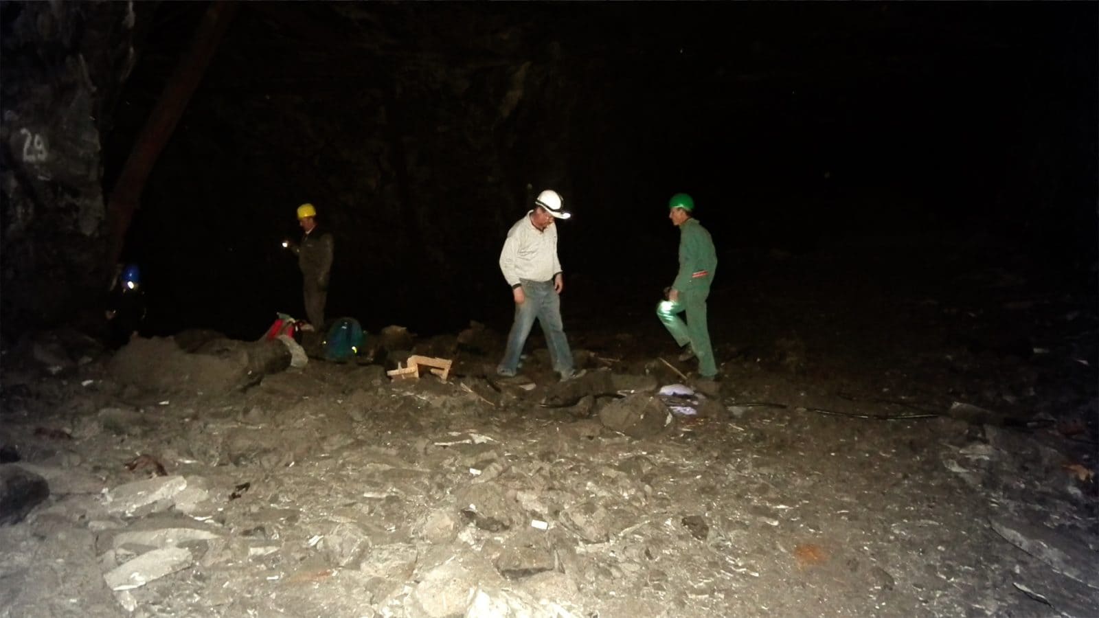
For this purpose, the gallery in Kohnstein was rebuilt and expanded by prisoners of the nearby Mittelbau-Dora concentration camp. To deliver individual parts into the tunnels and to remove the finished missiles, railway tracks were laid inside the mountain.
Area of conflict between industry and monument protection
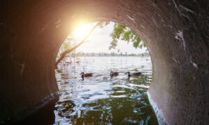
The remains of the Mittelwerk (tunnel system and leftover materials such as rusted missiles parts) are flooded by the groundwater today. Anhydrite continues to be mined at the Kohnstein. The tensions between industry and the protection of historical monuments has already been felt.
In 1992, for example, the mountain was sold to a mining company, but not the tunnel system, which was classified as a historical monument. A very difficult constellation.
Efficient monitoring of the mining gallery with IoT
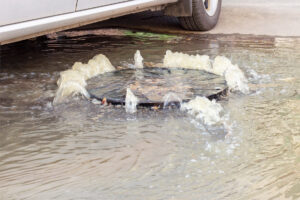
In 2016, UTK Eco Sens installed a measuring system with 5 measuring points to monitor the flooded parts of the former Mittelwerk. Anhydrite mining is to be expanded in the coming years and new mining fields are to be developed. However, the groundwater level is to be kept in order to preserve the historically valuable area. For this purpose, in an approval decision defined measured values must be made available to the authorities.
For the engineering office itself, further measured values are of interest, which allow early intervention.
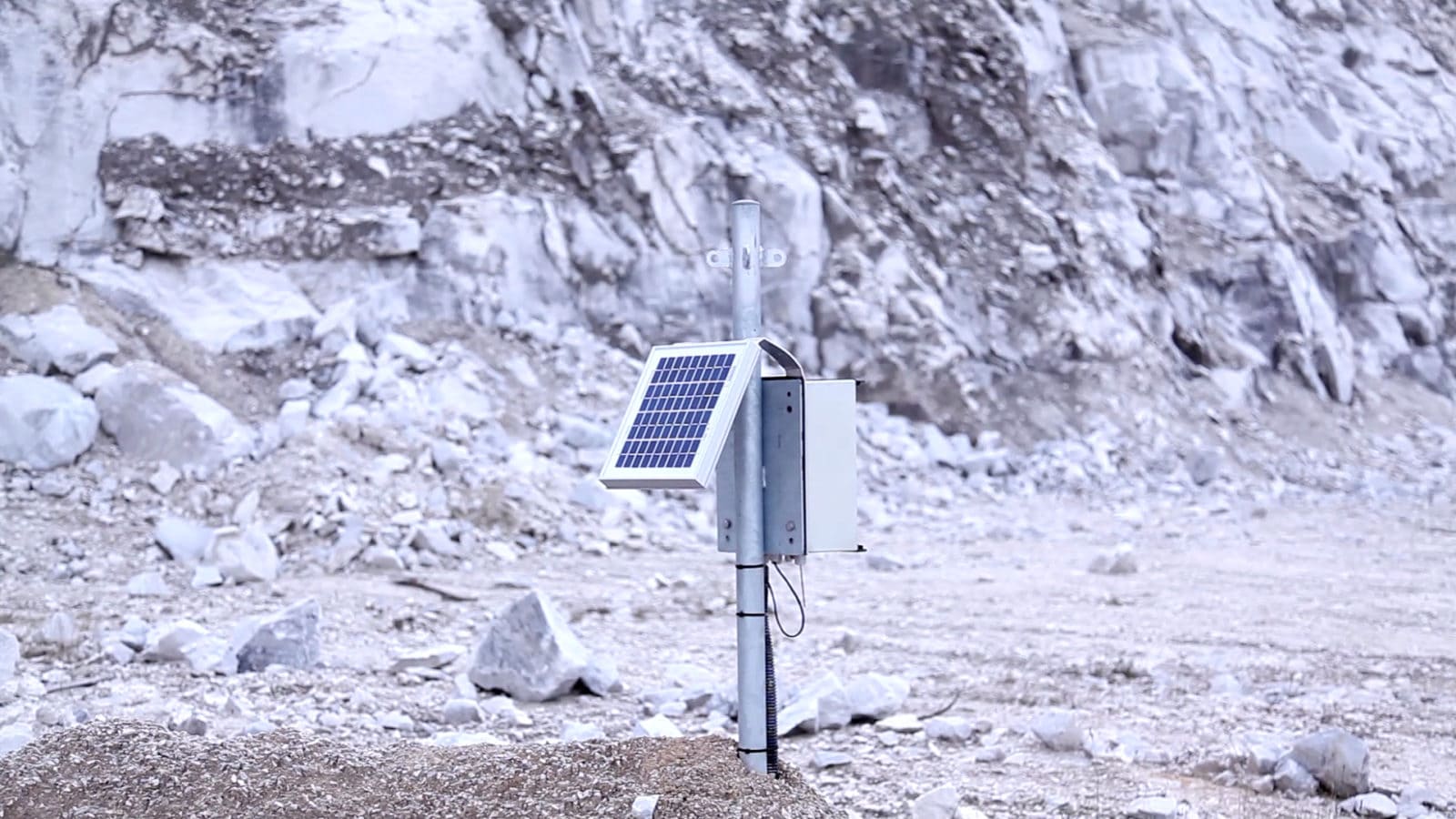
The lack of infrastructure in the underground mining gallery is a challenge. For the 5 measuring sites, up to 40 meters were drilled through the rock into a cavity. The sensors are connected to the GPS module on the surface and s solar panels for autonomous operation of the measuring station.
All measurement data collected centrally
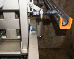
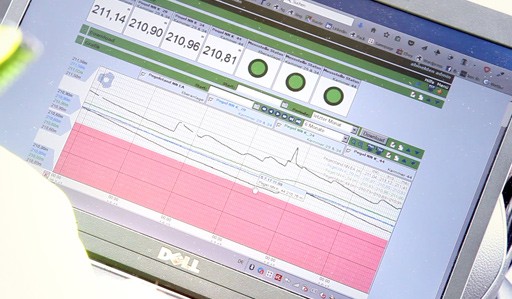
Devices of the type myDatalogEASY V3 and myDatalogMUC are used to measure and transmit the data to the central web platform. These measure the data at defined intervals, store the values intermediately on the device and send the collected data at regular intervals to the central platform. An alarm is automatically sent if a value falls below a defined threshold.
The data is made available to various interest groups via the online platform and FTP. An extensive right management helps to realize this.
If you know earlier, you can react earlier
Two of the five measuring points generate officially relevant data. Only two chambers are affected by the requirements of the authority and have a minimum water level which is not allowed to be fallen below.
For example, precipitation events can be detected more quickly in one of the chambers than in the others. This is due to the different permeability of the soil material. These values are relevant to identify potentially critical situations at an early stage and thus increase the scope for action.
The IoT monitoring of the mining gallery in Kohnstein protects the interests of industry and monument protection. The groundwater level for the protection of the historically relevant parts of the tunnel is measured automatically. While the anhydrite extraction area is being continuously expanded, it is ensured that the extraction has no influence on the groundwater level.

Mit dem Laden des Videos akzeptieren Sie die Datenschutzerklärung von YouTube.
Mehr erfahren